One of the most significant draw backs to living on a boat is having to deal with the increment weather. A storm was forecasted for the entire north island, especially, the northland area. So, we specifically selected a “protected” bay called Kiwiriki Bay at Great Barrier Island to hide from the storm.
There are loads of bays and anchorages in Great Barrier. About 50-75 boats are in this general area spread across 5nm (noted in yellow below).

We selected Kiwiriki Bay where we’ve anchored many times and have had very good holding.
We look at multiple weather sources using a variety of weather models. Neither looked good. We were in for bad weather for more than 48 hours.
Blue, green, yellow, and even orange are considered good to decent weather conditions. Red, gray, and black are not good.
Below are two models from two sources.
We are the small white dot.
As you can see we have winds gusting to 45kts, lots of rain, and really unfavorable conditions.
NZ Met Service weather warning.

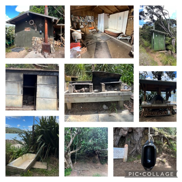
Kiwiriki Bay
We arrived at Kiwiriki Bay in Great Barrier Island a few days before the storm to claim a good, protected spot.
There are 10 boats well spread out in Kiwiriki Bay.
We first dropped the hook at 36°11.95S / 175°21.02E in 7m of water with 60m of chain out. We pulled back to 2400rpm and had a strong jerk and bounce back indicating a solid hold.
During the start of the first night of the storm we saw 20-24kt of wind and we were holding good.
By 10:30pm, we were seeing gusts 32-35kts.
By 11p our first anchor alarm went off. Of course, it is pitch black outside, sheets of rain coming down, and the wind is howling.
Matt put his dry suit on and I get my foul weather gear on. Both suits soaked through.

We let out more scope, reset the bridle and wait. The anchor alarm went off again.
We set a secondary, fortress anchor off the starboard bow.
This worked for a few hours as we nervously waited and watched. But, no, the alarm went off again.
We decided to reset both anchors so back out into the rain we go. It is somewhere around 2:30am by the time we get settled again.
We held in place but we were both up all night.
By first light we decided to move to a different spot within Kiwiriki Bay.
2nd Anchor Spot
This time we dropped the hook at 36° 12.27S / 175°21.22E in 6m of water. We splayed out 70m of chain and extended our bridle.
The boat was swirling around so we decided not to get the 2nd anchor out.
It rained all day as the winds increased from a consistent 18-22kts with gusts to 38-40kts. We were holding good.
Until we weren’t. It was close to 11:00pm when our anchor alarm went off. It had been blowing a consistent 40-42kts and the last big gust kicked us back 12 meters. We both suited up in our wet gear and got ready to either re-anchor, move, or deploy the 2nd anchor. We sat, waited, and nothing. She was holding again – even with the strong winds.
The storm started to dissipate leaving us with 25-30kts of wind which seemed like a huge reprieve. We both slowly crawled into bed around 2:00am.
The Day After the Great Barrier Storm
We have several anchor watches and all looked like a bowl of spaghetti.
The exception is the bottom photo. There are 2 red marks and the top red mark is actually the track from the boat next to us.

Matt took some drone shots which showed the muddy brown water we were left with after the storm. The mud came down the river from the mountains and turned the entire area into muck.
We are the 2nd catamaran from the bottom of both photos.

The sun was trying so hard to clear the sky and brighten our day. You can see pockets of blue sky reflecting off the water below.
This is the river entrance during low tide.

I guess we don’t often share this side of the cruising lifestyle as it is truly no fun.
This situation is my absolute least favorite thing about cruising. In the end, we were fine, the boat was fine, and all was ok.
We are short 2 nights of sleep and had loads of soaking wet clothing, but we were ok.
Our blog posts run 4-6 weeks behind actual live events.
We were in the storm at Great Barrier Island toward the end of March 2026.